Air-sea fluxes at high winds
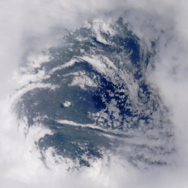
How do fluxes of heat and momentum behave at high winds and what processes impact these fluxes?
The ocean and the atmosphere are a highly coupled system, and the exchange of heat, moisture, and momentum at the air-sea boundary governs tropical cyclone (TC) development and intensity. However, it is largely uncertain how these fluxes behave at high winds, introducing errors in TC intensity prediction. The Study on Air-Sea Coupling with WAves, Turbulence, and Clouds at High winds (SASCWATCH) is a multi-year field campaign aiming to tackle this uncertainty by deploying a fleet of ocean and atmospheric observing instruments into 1-2 TCs each year. This effort will produce a substantial amount of data that has never been observed in a TC before, allowing us to better resolve our understanding of the physics of air-sea fluxes at high winds.
Waves, as a critical boundary between the air-sea interface, have the capacity to modulate these fluxes. However, their dynamics are often parameterized by wind speed and lack information about wind alignment and currents, which are hypothesized to play a major role in the storm environment. At Mines Oceanography, we bring wave modeling expertise to the SASCWATCH field campaign and investigate the relative roles that currents and wind play in driving the spatial variability of the wave field in TCs.
Lead more about SASCWATCH here.